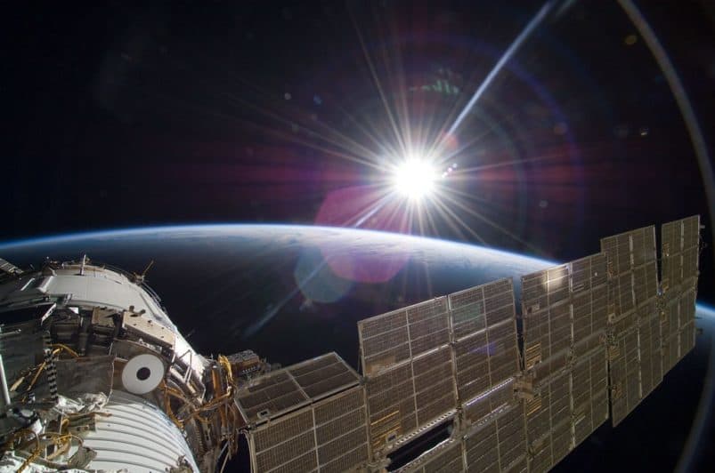
A View from Above
Geosystems STEM PD for Teachers
Brought to you by the Tulsa Regional STEM Alliance
and the NASA Oklahoma Space Grant Consortium
Help your students experience hands-on, minds-on geography!

In our high-tech world, aerial photos, GPS coordinates, and satellite images are easily accessed by society for daily activities, work, directions, and more. While these items are readily available to us, few understand the basics of deciphering the items which are displayed on the image or device and the interconnectedness between all of this data.
This FREE workshop is designed to provide hands-on STEM-based activities for the 4th – 8th grade classroom which emphasizes the interconnectedness of topo maps, satellite imagery, aerial photos, GPS, and GIS. We will begin with the basics, so no background knowledge is needed or required. One lucky participant will win a GPS for their classroom!
WHO
4th-8th Grade Teachers
WHERE
Please stay tuned for 2021 details. Questions? Email us at info@tulsastem.org
WHEN
Please stay tuned for 2021 details. Questions? Email us at info@tulsastem.org
Contact:
Questions? Contact info@tulsastem.org